Mississippi River vessels will soon have access to an app similar to Waze but for boat traffic to help them navigate the river's tricky, ever-changing conditions, Joann writes.
Why it matters: The Mississippi River is a critical thoroughfare for American commerce, but backups occur if large ships can't pass through shallow areas created by natural sediment or severe storms.
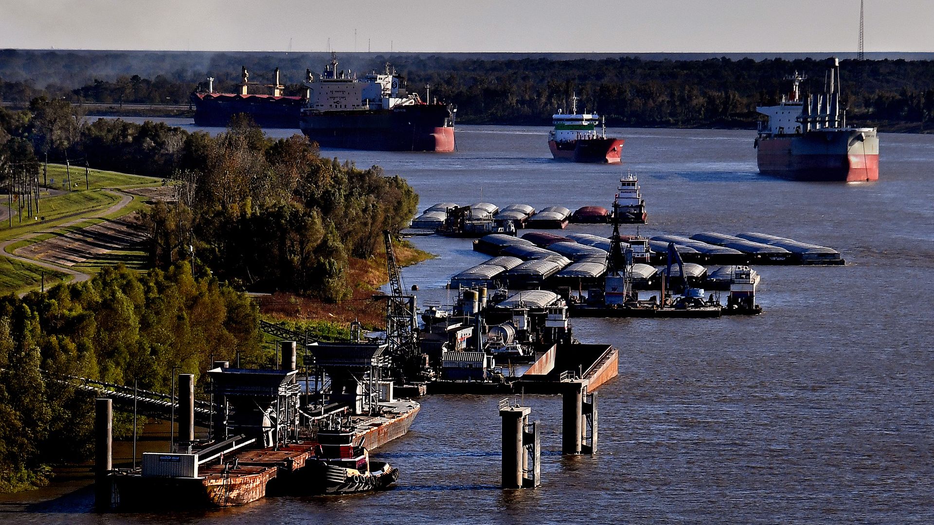
What's new: The country's first “smart port" in Baton Rouge, Louisiana, will use crowdsourced data from tugs, barges and other vessels to help ships transit the river safely and efficiently.
- The centerpiece of the digital platform is a "real-time shoaling forecast tool" that will collect depth data from workboats on the river, then use predictive analytics about sedimentation and shoaling to direct other vessels to the safest berths.